Marina management software in North Carolina
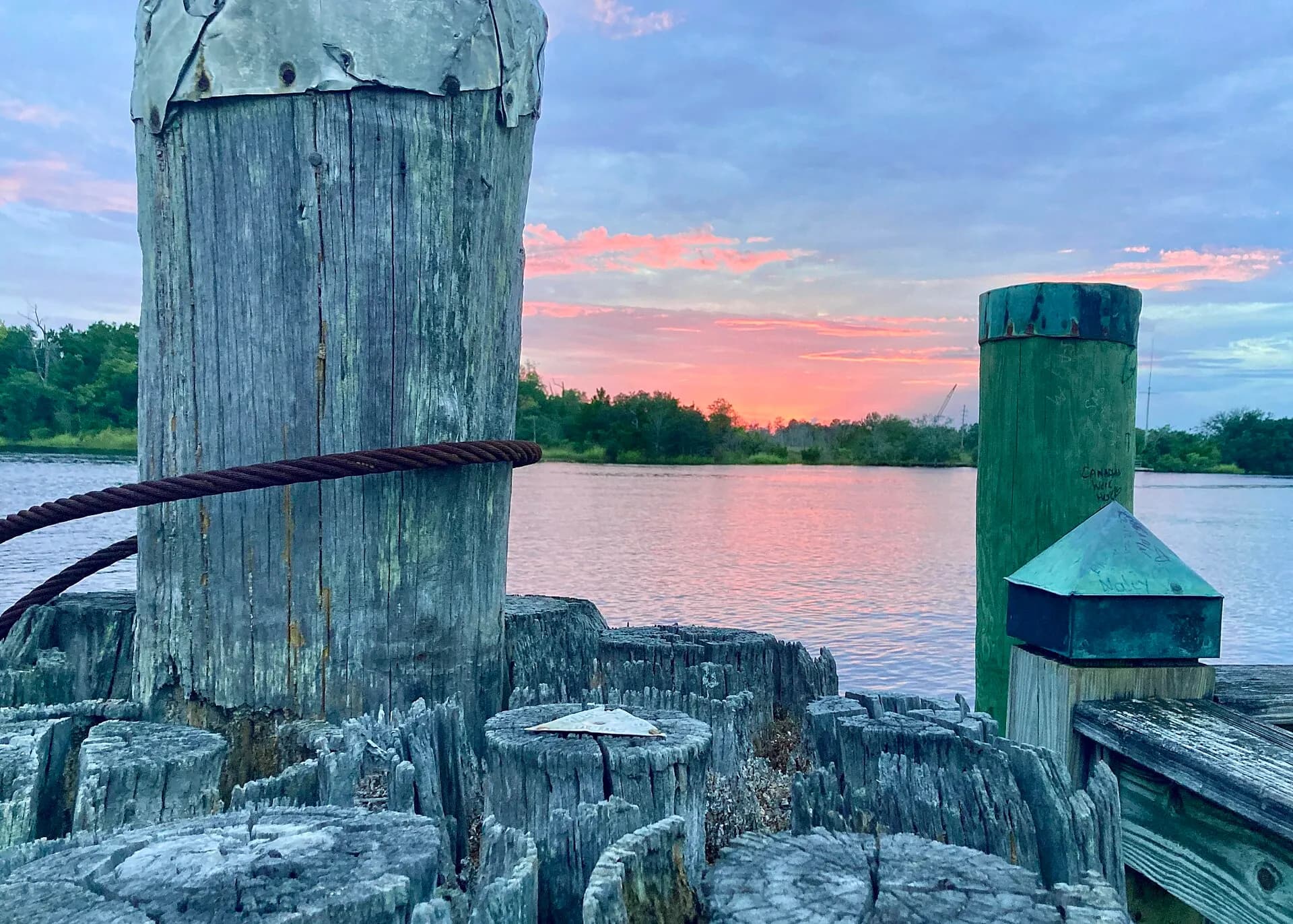
North Carolina's Outer Banks, Crystal Coast, and Intracoastal Waterway create a diverse marina landscape.
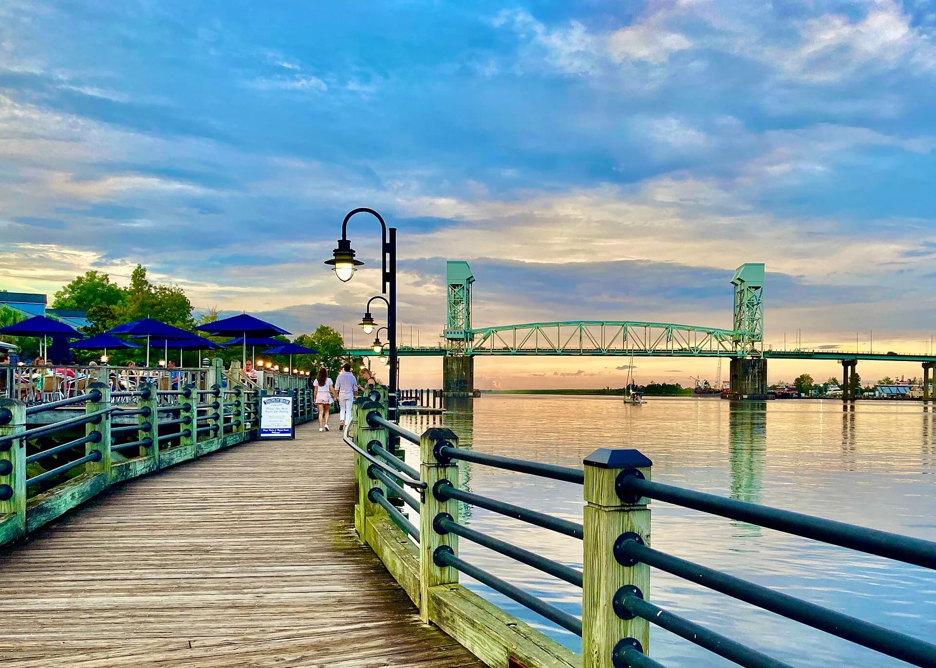
Why North Carolina deserves its own operating playbook
North Carolina's Outer Banks, Crystal Coast, and Intracoastal Waterway create a diverse marina landscape. The state's waters serve ICW cruisers, offshore anglers, and a growing coastal population.

Dock fit and facility constraints become daily decisions
Intracoastal Waterway shoaling requires awareness of draft limitations that affect which vessels marinas can accommodate.
Interactive Marina Map
Storm and weather planning shape operations
Hurricane vulnerability along the Outer Banks and Crystal Coast demands comprehensive emergency plans.
Attention Center
Occupancy and pricing leave little room for leakage
Hurricane vulnerability along the Outer Banks and Crystal Coast demands comprehensive emergency plans.
Slip ManagementBuilt for the way North Carolina marinas run
One platform for dock visibility, lease management, billing, and daily operations.
Get started with Slipax in North Carolina
We set up your marina for you during a free pilot — no cost, no commitment.
We map your slips, leases, and billing in a short audit before anything goes live, so the system reflects how you actually run.
We build your marina map, import your records, and configure billing for you, so you never start from an empty system.
We train your team on the live system and hand over a marina that is already working. Pay only if you see the value.
Explore North Carolina marina markets
Find marina management resources for the most active boating communities in North Carolina.


Common questions from North Carolina marina operators
What makes marina management different in North Carolina?
Hurricane vulnerability along the Outer Banks and Crystal Coast demands comprehensive emergency plans.
Which operators usually need software fastest in North Carolina?
Teams dealing with infrastructure limits and weather exposure tend to feel the pain first because manual processes break down as berth activity gets more complex.
Which Slipax features matter most for North Carolina operators?
Interactive Marina Map, Attention Center, Slip Management, Payment Tracking are the strongest starting points because they connect dock visibility, operational control, and billing follow-up in one system.
How quickly can a North Carolina marina roll this out?
Most teams can get started in a day once their dock layout, active leases, and billing data are organized for import.
Ready to modernize your marina?
Founder-led onboarding, hands-on setup, no painful switch.